|
|
|
 |
|
SOUTH SINAI TOWNS
|
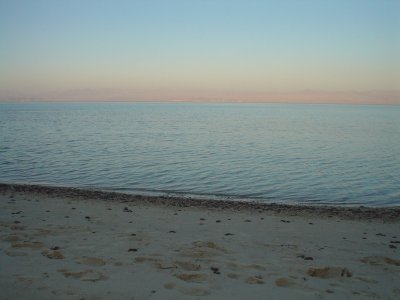
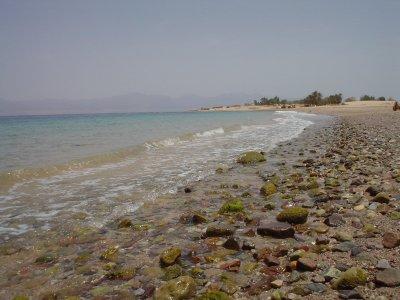
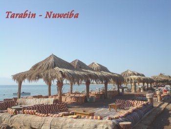
NUWEIBA Noweiba can be divided into three main sections and runs for some ways along the beach. The three areas consist of the port of Noweiba which has become fairly busy these days, Noweiba City which has a bazaar and tourist shops, and Tarabin which is the real party area of the area. All along the Sinai cost you will find good scuba diving, and Noweiba is no exception. This town lies either side of the Wadi Watir delta about 57 miles north of Sharm el-Sheikh, and consists of the Muzeina Bedouin fishing village to the south and the Tarabiin Bedouin and tourist villages to the north. They are separated by an 18th century Turkish citadel. Besides the diving, you will also find camel and jeep adventurers. The Colored Canyon is nearby, and a little beyond is the oasis of Ain el-Furtaga. Be sure to take the road between Noweiba and Taba if you like beautiful scenery. Noweiba also has a daily ferry service to the Jordanian port of Aqaba.
Saudi Arabia on the other side
|
|
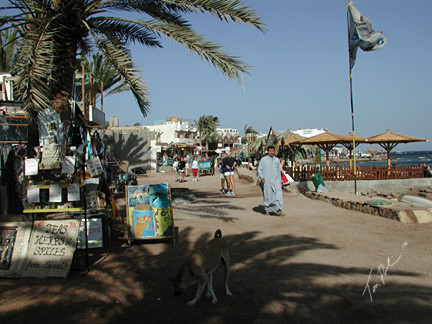
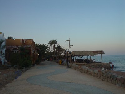
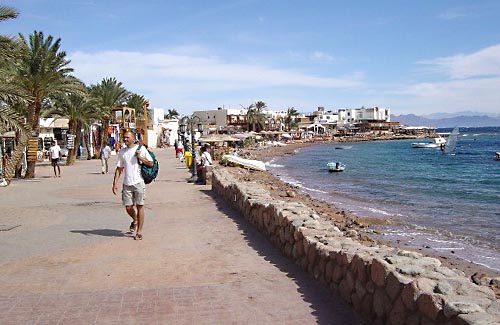
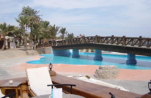
DAHAB This pearl of the gulf actually consists of two villages, the Bedouin village of Assalah is the southern half, with the business and administrative center of Dahab to the north. Dahab means 'gold' in Arabic. In Sinai it means golden sands, turquoise sea and off-beat cafe life. It is a focus of tourism development, with swaying palms, fine sand and wonderful snorkeling opportunities. Dahab has excellent hotel accommodations, but also affords less expensive housing in the village, or camping. About 5 miles from town is the famous Blue Hole, for diving. Towards the Israeli border is the Island of Coral, where the Crusaders built a fort. The remains can still be seen.
Restaurants and cafeterias at the promenade
|
|
TABA
PHARAOH'S ISLAND
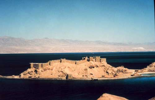
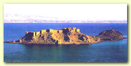
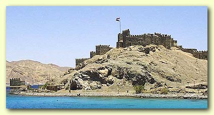
Pharaoh's Island, sometimes called Coral Island, or Geziret Faraum, is the location of a Crusader fortress originally built by Baldwin I, the King of Jerusalem. From the top of the fortress, one can see four countries, including Egypt, Israel, Jordan and Saudi Arabia. Work apparently began on the fortress around 1116 AD. Baldwin built the Fortress for three reasons: It was in the center of a huge trade route between the far East and Europe. It was easily defendable, being out of range of land based catapults and was on high ground. It was in the narrowest section of the Gulf of Aqaba. The castle was originally named Ile De Graye Castle. At various times while in Crusader hands, it was used to collect taxes on Arab merchants, and sometimes to attack Arab shipping, while at the same time protecting pilgrims traveling between Jerusalem and St. Katherine Monastery The fortification was, however, captured by Salah ad-Din in about 1170. Some reports indicate that he abandoned the fortress only a short time later, in about 1183, while other information seems to indicate that he expanded the fortress considerably and that it was possibly not abandoned until the 13th century. He did in fact probably expand the fortress considerably, and the Mamelukes and Ottomans probably further enhanced it.
|
|
El-Arish Shady Palm-lined beaches, Mediterranean waves and the glowing colors of Bedouin crafts mark this northern sea resort town. Here, you will find good restaurants, hotels and several resort complexes. There is a Pharaonic fortress at El-Arish that was rebuilt by the Ottomans in 1560, Restored by Boneparte's troops in 1799, and destroyed by British bombers during World War I. In addition you will have a rare find in the permanent exhibition of the arts and traditions of the Bedouins near the zoological gardens on the edge of town Location: Arish, North Sinai, Egypt
|

![]()